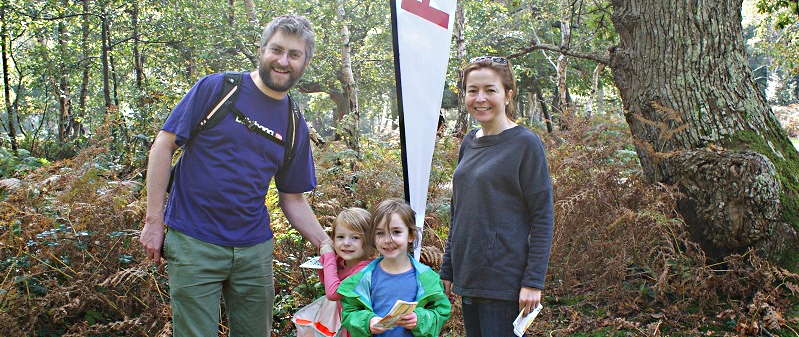
Mortonhall Local Event
Saturday 6th December
Entries are closed!

Limited further advance entries with waterproof maps will be available until midnight on Thursday 4th December. There will be also be plenty of maps for entry on the day (EOD), though they may not be waterproof.
Entry on the Day (EOD) will be accepted at the event subject to maps being available - payment by card or cash (or bank transfer after). You are encouraged to pre-enter to guarantee a map.
White (easiest) 1.0km 20m climb
Entered: 2 of 7
Technically easy. Contained entirely within the campsite. Designed for 6-10-year-olds and family groups. Suitable for unaccompanied Under-16s.
Yellow 1.8km 45m climb
Entered: 5 of 7
Uses linear features like paths, walls, and fences. Designed for under 12s and family groups. Straight-line distance; suitable for unaccompanied Under-16s.
Orange 2.8km 55m climb
Entered: 8 of 10
Involves basic use of the compass and route choice. Ideal for competent youngsters or novice adults. Straight-line distance; suitable for unaccompanied Under-16s.
Red 3.7km 85m climb
Entered: 5 of 6
Involves basic use of the compass and route choice. Ideal for novice adults who would like a longer run with simpler navigation. Straight line distance. Suitable for unaccompanied Under-16s.
Light Green 4.0km 50m climb
Entered: 6 of 11
Uses simple contour and point features. Ideal for improvers as the navigational difficulty begins to increase. Uses Mortonhall Estate and adjacent housing estates. 60% off road. Straight line distance. Under-16s must be shadowed / accompanied due to road crossings.
Green 5.6km 110m climb
Entered: 31 of 32
Hard. Uses Mortonhall Estate and adjacent housing estates. 55% off road. Any under 16s need to be shadowed.
White, yellow orange and red courses are suitable for unaccompanied Under-16s. The harder courses (light green and green) venture outside the estate and cross local roads, so under-16s need to be shadowed / accompanied.
All distances are straight-line distance so you should expect to run up to 25% further on the ground.
Junior/Student: £3.00/£4.00
Juniors are under 26 on 31st December.Young adults under 26 pay junior rates, as do Students if they tick the 'Are you a Student?' box on the entry form.
Pairs / Groups / Families running together should make a single entry. Enter the name of your lead navigator then add the additional names in the box below. There is a final box for your group / family name that will be displayed on the results (otherwise it will be the lead navigator's name). You get one map with your entry, and can request up to 4 additional maps (towards bottom of form) at £1 each.
Timing Device (Dibber) Hire - SI dibbers are available to hire free of charge but there is a £30 charge if lost.
Shadowing - if you are following ('shadowing') another runner but not competing, you can order an extra map (£1 per map).
Full details are on the event webpage