Blackwood - SCOA League (SCOL3)
Sunday 3rd December
Entries are closed!

Level C SCOA League Event
ISOM-2 map updated for the event.
Always an enjoyable place to run due to good underfoot conditions.
Brown 23 Controls 9.0km 160m climb
Entered: 0 of 36
Suggested Classes M21, M35 and M40
Blue 18 Controls 7.4km 120m climb
Entered: 0 of 51
Suggested Classes M16, M18, M20, M45, M50, M55, M60.
W21, W35, W40
Green 14 Controls 5.5km 70m climb
Entered: 0 of 66
Suggested Classes M65, M70
W16, W18, W20, W45, W50, W55, W60
Short Green 12 Controls 3.3km 50m climb
Entered: 0 of 36
Suggested Classes M75, M80, M85, M90
W65, W70
Light Green 9 Controls 4.0km 70m climb
Entered: 0 of 11
Suggested Classes M14, W14
Orange 7 Controls 2.9km 50m climb
Entered: 0 of 6
Suggested Classes M12, W12
Yellow 9 Controls 2.3km 35m climb
Entered: 0 of 8
Suggested Classes M10, W10
White 8 Controls 1.5km 35m climb
Entered: 0 of 5
Suggested Classes M10, W10 Starters
Main (No EOD)
Senior: £13.00/£15.00
Not BOF Member Add: £2.00
Senior Chip hire: £2.00
Junior: £5.00
Junior Chip hire: £0.00
From 28th November:
Late Entry
Senior: £15.00/£17.00
Non BOF Member Add: £2.00
Senior Chip hire: £2.00
Junior: £6.00
Junior Chip hire: £0.00
Juniors are under 18 on 31st December.£13 entry for BO members. £15 entry fee for non-BO members. Juniors £5.00.
Hired EMIT eCard - £2.00 per Senior, Free for Juniors (courtesy of EMIT UK).
After 27th November entries will re-open for late entries (subject to map availability) but at £15 for BOF members, £17 for non-BOF members and Juniors £6.00.
Any full time student that requires a reduced entry fee please contact the organiser for a discount code.
- On arrival only park where directed by BADO marshals.
- Start times will not be enforced, just used to keep an even flow. Its is a punching start.
- EMIT is being used. Loose control descriptions in the start lanes.
- Hired ecards must be collected from Registration, the fee for lost ecards is £50.
- Be courteous to other users of the forest, most of the public will be in the southern
end of the forest.
- Bring your own water.
- Forest Holiday's Cafe will be open for hot food and drinks.
- Results will be available live on the day at race-results.info (subject to available signal).
- EOD will be allowed but subject to map availability
- Most of all enjoy your run
West off the A33 (Basingstoke-WInchester Road) at OS SU535418, w3w conjured.sleeping.revived, Postcode SO21 3BG. The event will be signposted from the A33 Parkhill, Micheldever Station turning onto Larkwhistle Farm Road. Please take care turning off the A33 because the turning is situated on a fast dual carriageway section.
From the South exit at Jnct 9 of the M3 take the A34 (second exit on roundabout), then after a short distance take the right fork, signed Basingstoke A33. Proceed 6.4 miles to the turn off to the left.
From the East and North exit at Jnct 7 of the M3 signed Basingstoke A30. Third exit from roundabout signed Basingstoke, Newbury, Kings Worthy A30. After a short distance turn left at the first lights signed Kings Worthy, Micheldever, E Stratton A30 (A33). Follow road for 5.0 miles to the turn off on the right.
From West from the A303 take the Non Motorway Traffic A30 exit (just as M3 starts). I mile on at T Junction turn right signed Winchester A33. Follow road for 5.0 miles to the turn off on the right.
Linear parking along hardstanding forest tracks.
1:10,000 A4 ISOM2017-2 Map, 5m contours, updated for the event.
Gentle incline North to South, good path network with runnable terrain typical of Forestry England land management. The area has a number of large depressions from WWII bomb craters.
Some distinctive trees are ancient yews with extensive canopies.
The area is used by dog walkers and horse riders. Please be aware and courteous.
There is little climb on all of the courses.
Beginners are welcome to try the courses, please ask for assistance when you arrive. The courses rank from easy to hard, just bring a compass (one can be lent if you do not have one) and give it a go. No problem if you want to go round with other people.
Start is a 300m from assembly and the Finish 100m from assembly.
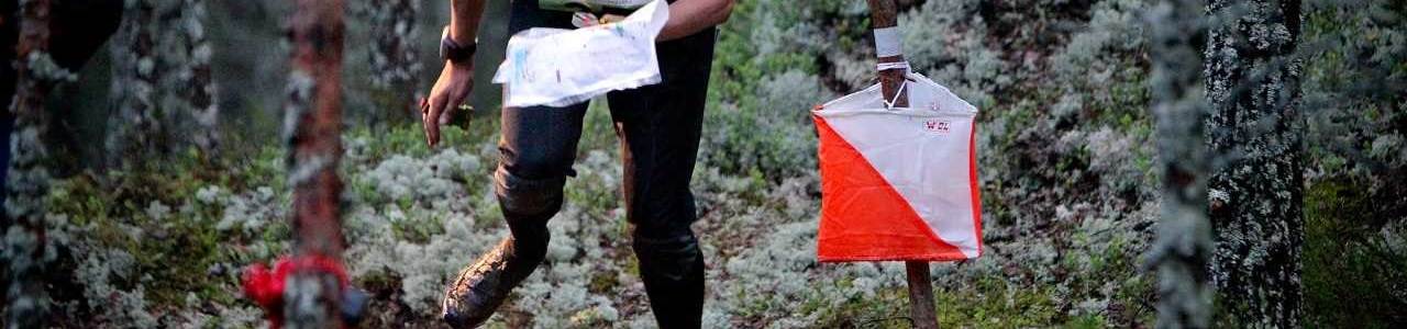
EMIT eCards will be used on all courses. Everyone must report promptly to Download.
There will not be a drinks station. Please provide your own water.
10:00 to 12:00 for Hired eCard collection and Enquiries
EOD is possible subject to map availability..
10:30 to 12:30.
Control descriptions will be available in the start lanes.
Promptly at 14:30 please. You must report to download before you leave the event.
Toilets.
The Forest Holiday's cafe will be open serving hot food and drinks.
Please make yourself aware of and abide by the British Orienteering Participant Code of Conduct.
Dogs are allowed, but under strict control and on a lead at all times.
Blackwood is looking very good at this time of year. The undergrowth in the northern part of the wood is low to non existent and will allow for fast running. In the southern part of the wood the undergrowth is thicker and courses have been planned to avoid the worst areas.
There is a large out of bounds area in the middle of the map covering the Forest Holiday Cabin area. Courses have been planned to avoid this. If you get lost and have to relocate avoid the cabin area, and use the paths round the outside of the wood.
Note - Distinctive trees marked on the map are all evergreen/pine trees.
Making competitors aware that use of Blackwood has the following restrictions imposed by Forestry England to allow future use:
- Forest Holiday cabin area is to be avoided at all times.
- Car sharing to be encouraged due to limited parking availability.
- Please do not verge park or go off road - park where instructed.
- All litter must be removed from the site.
- No smoking or lighting of fires or stoves is permitted.
These are not all the rules but are those that competitors must be aware of.
You must respect all areas marked OOB.
Orienteering is an adventure sport; you are responsible for your own safety at the event and must not do anything that puts yourself or others at unnecessary risk. Please remember that COVID has not gone away, please respect those that want to be socially distanced.
Organiser: Charles Gook (BADO)
Planner: Craig Blackford (BADO)
Controller: Robin Smith (SO)