Skipwith Regional
2025-11-09

Welcome to Skipwith, one of EBORs most popular venues.
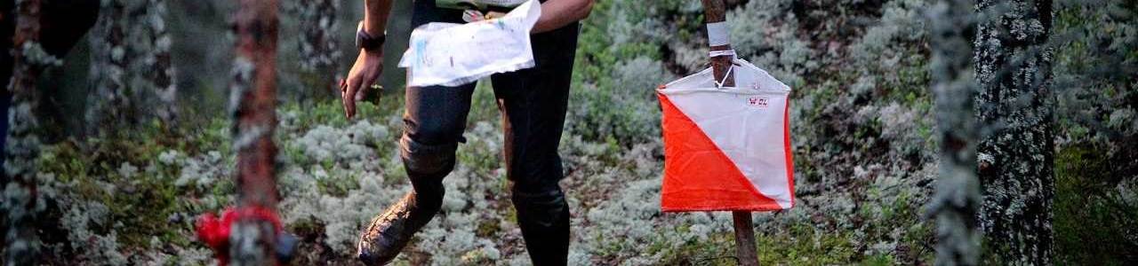
Skipwith is a complex common land of trees, marsh, different heathland vegetation and remains of old WW2 bunkers.
Contact: info@eborienteers.org.uk
Enter any course. Guidelines for the YHOA superleague are below
Brown 9.1km
M21, M20, M35, M40, W21
Short Brown 7.7km
M18, M45, M50, W20, W35
Blue 6.7km
M16, M55, M60, W18, W40, W45
Short Blue 6.3km
M65, M70, W16, W50, W55
Green 5.1km
M75, W60, W65
Short Green 4.2km
M80, W70
Very Short Green 3.2km
W75, W80
Light Green 3.4km
M14, W14
Orange 3.0km
M12, W12 - Suitable for family groups
Yellow 2.6km
M10, W10 - Suitable for beginners.
White 1.4km
Suitable for young children
Standard Fees
Senior: £12.00
Senior Novice: £6.00
British Orienteering non-member supplement: £2.00
Senior Chip hire: £1.00
Junior: £6.00
Junior Chip hire: £0.50
From 3rd November:
Late Entry
Senior: £14.00
Non BOF Supplement: £2.00
Senior Chip hire: £1.00
Junior: £7.00
Junior Chip hire: £0.50
Juniors are under 18 on 31st December. To guarantee a map enter before midnight 2nd November
Seniors £12, non BOF £2
Juniors £6
Late entry after 2nd November until Thursday 6th subject to map availability.
Seniors £14, non BOF £2
Juniors £7
There may be very limited entry on the day
Parking
For parking arrangements, vehicles are to be parked on Dunelm Farm land, which is located at the far end of King Rudding Lane. The provisional course postcode is YO19 6QL.
We will be encouraging car sharing by requesting a £2 donation upon arrival, which will be collected in a bucket. The money will go directly to the landowner.
Facilities
There will be portable toilets available at the Car Park
Timing
Help, advice and dibber hire: 10:00 - 12.20
Starts : 10.30-12.30
Courses close: 14.30
Safety
The walk to the start will be along a road used by farm traffic and members of the public going to the public car park, please be careful.
Please be aware of the risk of ticks and Lymes disease. The area is grazed by ponies and cattle: do not approach or feed them. Dog walkers and horse riders also use the area, so please be respectful and cautious around their animals. The area is popular with cyclists using the gravel paths.
All competitors MUST report to Download even if retiring from the event.
Lone competitors are required to leave car keys at Enquiries / Download.
Orienteering is a physically challenging sport, and competitors take part at their own risk.
First Aid and A&E
First Aid is available at the Registration
Map
Scale 1:10,000, 5m contours.
Control descriptions will be printed on the map. Loose control descriptions will be available at the Start. The White and Yellow courses have text control descriptions. All other courses have IOF control descriptions.
Terrain and Out of Bounds
Terrain is generally runnable forest and Moorland with few forest paths and rides. The area contains fenced enclosures and cattle. There is a small area towards the North that is a SSI area and out of bounds. This is marked on the map
Clothing and equipment
Full leg cover and footwear suitable for the terrain must be worn. Trail/orienteering shoes or sturdy walking boots are recommended.
All competitors must carry a whistle.
In case of adverse weather we may require competitors to wear a cagoule or similar waterproof top.
Dogs
Dogs in the car park on a lead. You can walk around Skipwith with a dog on lead, but please be aware of horses, cattle and sheep
Results
The results will be posted on the club website as soon as possible after the event.
Event Officials
Organiser: Jonny Booker
Planner: Sheila Smith
Controller: Emma Harrison